Date: January 18, 2026 | Total Distance: ~1,878 Nautical Miles | Status: Exploring La Paz, MX
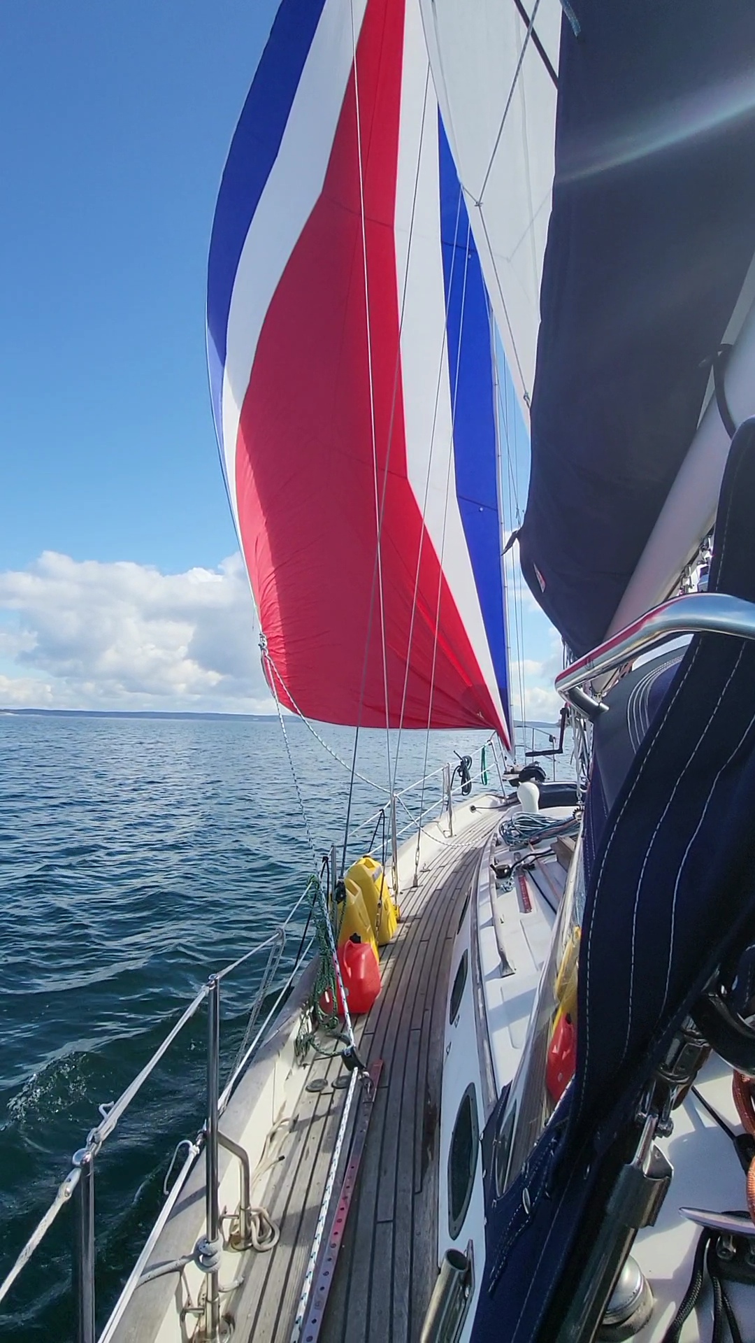
What began as a departure from the crisp, high-latitude waters of the Pacific Northwest has evolved into a 1,900-mile odyssey. From rounding Cape Flattery to the long, rhythmic runs down the Baja coast, S/V Irene has officially traded PNW evergreen for Mexican desert blooms.
🌊 Major Passage Summary & Performance Log
Distances estimated via Garmin InReach GPS coordinates. Speeds represent Speed Over Ground (SOG).
| Leg | Dates | Dist (nm) | Avg/Max Speed | Primary Weather Conditions |
| I: Salish Sea | Aug 20 | 114 | 13.5 / 16.4 kn | Light W/NW 5–10 kn; calm protected waters. |
| II: WA/OR Coast | Aug 21–24 | 301 | 3.9 / 10.2 kn | NW 15–25 kn (Pacific High); NW swell 6–9ft. |
| III: OR/CA Coast | Aug 26–30 | 318 | 3.1 / 9.8 kn | Variable NW 10–20 kn; heavy NW swell 8–11ft. |
| IV: Central CA | Sep 12–16 | 323 | 3.5 / 11.2 kn | NW 10–15 kn; mixed NW/W hurricane swell 5–7ft. |
| V: SoCal Transit | Sep 17–Oct 4 | 92 | 0.2* kn | Light/Variable <10 kn; exceptional wet period. |
| VI: Baja Transit | Nov 23–30 | 610 | 3.6 / 10.6 kn | NW Trades 15–22 kn; following NW seas 6–10ft. |
| VII: Gulf Entrance | Dec 5–Jan 5 | 120 | 0.2* kn | N/NW 10–18 kn; short, steep 3–5ft seas. |
| TOTAL | Aug–Jan | 1,878 | 4.1 kn (Avg) | Cumulative total over 5 months. |
🛠️ Voyage Technical Highlights
- Top Performance: We hit our maximum SOG of 16.4 knots in the Strait of Juan de Fuca on August 20, bolstered by a strong outgoing tide.
- Baja Marathon: Our longest continuous leg (610nm) benefited from the consistent NW Trades, allowing for steady 5-knot runs for days at a time.
- Current Location: Enjoying the islands of La Paz (24.160°N, -110.327°W).
